Geography - Takeo, Cambodia
Geography
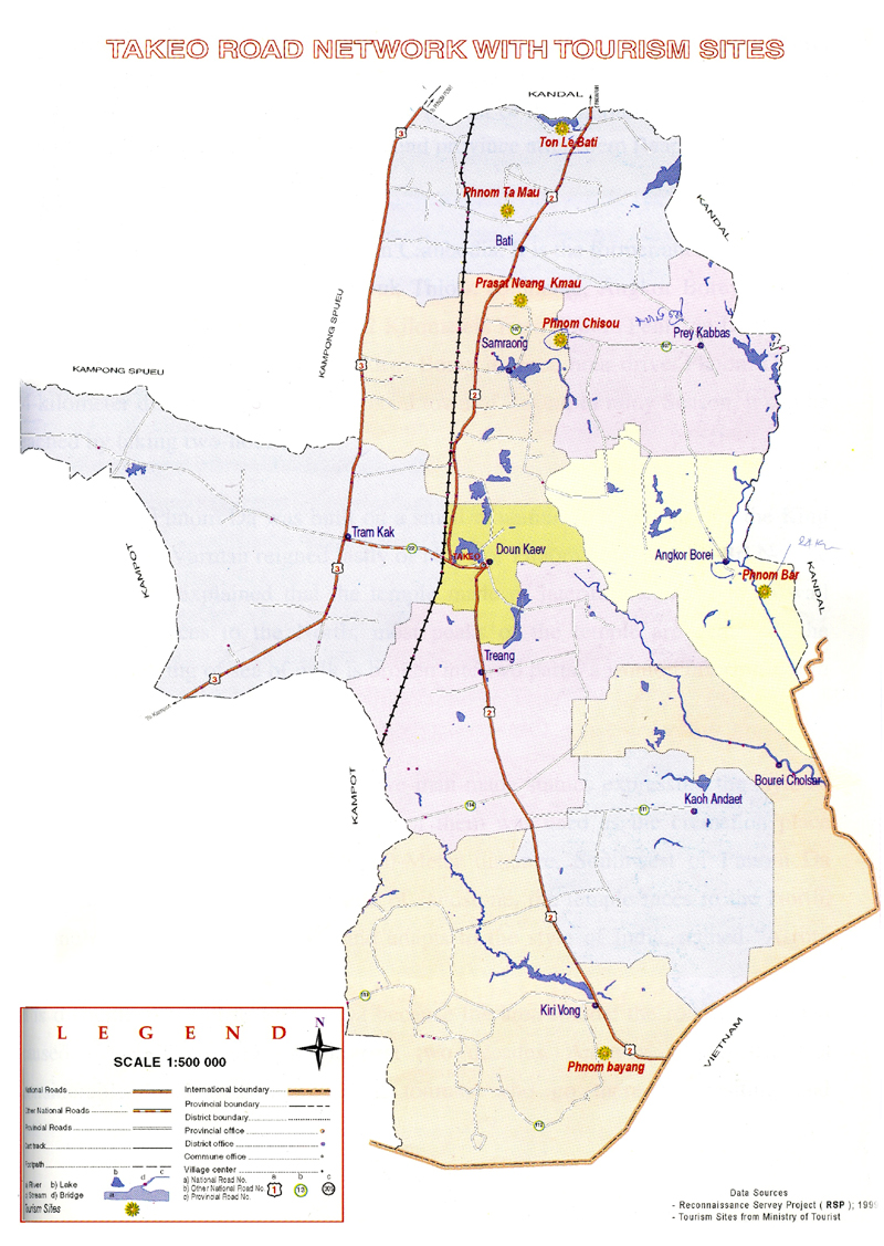
Takeo province is 3,563 square kilometres big. It's located in the South of the country bordering to the North and East with Kandal, to the West with Kampong Speu and Kampot and to the South with Vietnam. The low-lying area seems to include much of the surrounding province area, which is probably why a kingdom that once had its heart here was referred to as Water Chenla. There seems to be water everywhere in the surrounding countryside during the rainy season.
Therefore the province consists of the typical plain wet area for Cambodia, covering rice fields and other agricultural plantations. The province also features one of the biggest rivers of the country (symbolizing the provincial border to the East), the Tonle Bassac (also known as the ?Red River?).
Bus Ticket Online is available and you can check below:
Search Bus, Taxi, Boat from/to Takeo
Search Hotels
Travel next destinations
Cambodia Tours

Cambodia Day Tours

Angkor Temple Tours

Cambodia Classic Tours

Promotion Tours

Adventure Tours

Cycling Tours
Trip Planner
Useful Links
Travel Services
News & Media
Agency offering information about Cambodia on tourism, culture, history, visa, attractions, province guides, trip planner, hotels, flights, cars, tours, news, photo and online bookings.
#262D, Monivong Blvd., Sangkat Beung Raing, Khan Daun Penh.Click here to contact us.