Geography - Mondulkiri, Cambodia
Geography
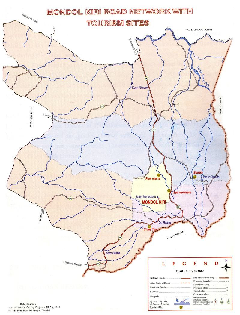
Mondulkiri province is situated on the South - East plateau (approx. altitude around 200-1000 metres), it's capital Sen Monorom is about 375 Km from Phnom Penh. It is bordering Vietnam to the East and South, Ratanakiri to the North, and Kratie province to the West. Beside a bunch of smaller rivers, which grow quite big during the rainy season, there are two bigger rivers crossing the province ( the Preaek Chhbaar and the Preaek Te River ). The total area of Mondulkiri is about 14,288 square kilometres.
Bus Ticket Online is available and you can check below:
Search Bus, Taxi, Boat from/to Mondulkiri
Search Hotels
Travel next destinations
Cambodia Tours

Cambodia Day Tours

Angkor Temple Tours

Cambodia Classic Tours

Promotion Tours

Adventure Tours

Cycling Tours
Trip Planner
Useful Links
Travel Services
News & Media
Agency offering information about Cambodia on tourism, culture, history, visa, attractions, province guides, trip planner, hotels, flights, cars, tours, news, photo and online bookings.
#262D, Monivong Blvd., Sangkat Beung Raing, Khan Daun Penh.Click here to contact us.