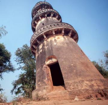
The travel guide to all provinces in Cambodia which providing general information, tourist attractions, accommodations, restaurants, travel map, shopping information and transportation within the each province.
Cambodia has a land area of 181,035 square kilometers in the southwestern part of the Indochina peninsula, about 20 percent of which is used for agriculture. It lies completely within the tropics with its southern most points slightly more than 10˚ above the Equator.
International borders are shared with Thailand and the Lao People's Democratic Republic on the West and the North, and the Social Republic of Viet Nam on the East and the Southeast. The country is bounded on the Southeast by the Gulf of Thailand. In comparison with neighbors, Cambodia is a geographical contact country administratively composed of 20 provinces, three of which have relatively short maritime boundaries, 2 municipalities, 172 districts, and 1,547 communes. The country has a coastline of 435 km and extensive mangrove stands, some of which are relatively undisturbed. The Kingdom of Cambodia has 24 provinces and city. The Capital of Cambodia is Phnom Penh, the vibrant bustling capital of Cambodia. Situated at the confluence of three rivers, the mighty Mekong, the Bassac and the great Tonle Sap, what was once considered the 'Gem' of Indochina. The capital city still maintains considerable charm with plenty to see.


